Legs 5–6 of 8 235 + 215 km
Northwest — Mývatn to Borgarnes
Mývatn to Skagafjörður, then on to Borgarnes — long farmland valleys, Iceland's second city at Akureyri, and the Tröllaskagi peninsula for anyone with a spare day.
- Distance
- 235 + 215 km
- Wheel time
- ~3 h 10 + ~2 h 45
- Main town
- Akureyri
- Weather exposure
- Medium
The legs / 01
Two legs, one long farmland stretch
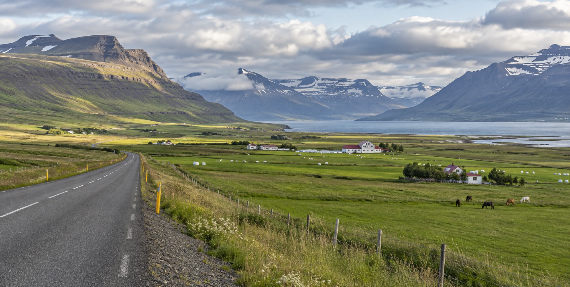
This is the longest continuous run of ordinary, undramatic driving on the loop — broad agricultural valleys rather than a single famous stop every few kilometres, which makes it a good place to bank driving time rather than expect constant sightseeing pull-offs.
Akureyri / 02
Iceland's "capital of the North"
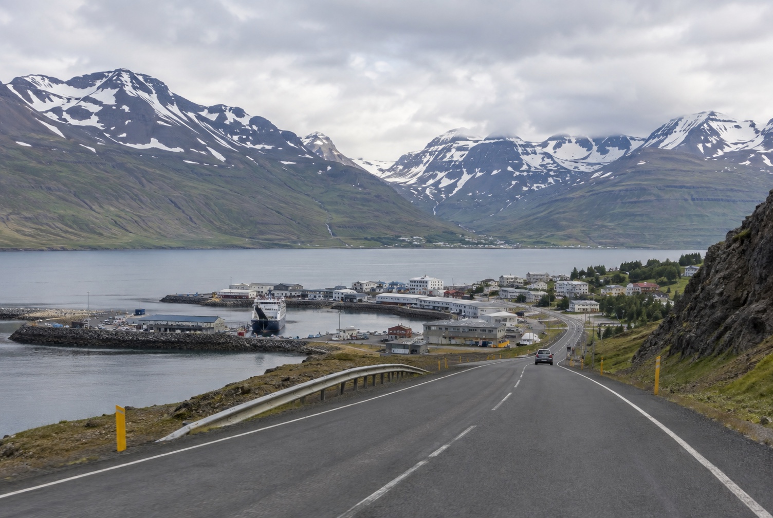
Akureyri, the country's fifth-largest town, sits at the head of Eyjafjörður with a genuinely walkable centre, cafés, museums, and its own microbrewery scene — a reasonable place to break the drive with a proper meal rather than a fuel-station sandwich. It's also the natural base for a Tröllaskagi peninsula detour (Route 76 then 82), a mountainous side-trip past old herring towns like Siglufjörður, worth a full extra day rather than a rushed afternoon.
Practical / 03
Services are easier here than the east
Unlike the East Fjords or the interior plateau, this stretch has regular towns with fuel and food — the planning question here is less "will there be a station" and more "do I have time for the Tröllaskagi detour before Borgarnes."
Places on this leg / 04