1,332 km Route 1

One road, eight real driving legs

Bluejaymere turns Iceland's full loop into the same eight legs local operators actually use to plan overnight stops — with real distances, wheel-time estimates, and how much slower each leg runs once summer ends.

Route 1 curving through a moss-covered lava field at golden hour, snow-capped mountains and a glacier tongue on the horizon

Loop instrument / 01

Select a leg, then a season

Pick any of the eight waypoints to see that leg's distance and a baseline wheel-time estimate — driving only, no stops. Switch the season to see how much slack a shoulder-season or winter trip actually needs.

Season

Interactive Ring Road stage map Eight selectable points following Route 1 clockwise from Reykjavík, with the Snæfellsnes peninsula shown as an optional spur off the main loop

Leg 1 of 8

Reykjavík → Vík

187kmroad distance
2 h 30wheel time
Mediumweather exposure

Golden Circle detour or straight south

Most first-timers add the Golden Circle (Þingvellir, Geysir, Gullfoss) as a loop off Route 1 before turning south — it adds roughly three hours and is worth doing on day one rather than trying to fit it in later.

Open the South Coast guide

In summer this leg is straightforward tarmac driving with long daylight; the only real delay is stopping traffic at Seljalandsfoss and Skógafoss car parks.
Pace selector / 02

How many days changes the trip, not just the list

Extra days on a ring-road trip don't mainly buy you more attractions — they buy weather slack. Iceland's road-condition and wind advisories change daily, and a tight schedule has no room to absorb a bad one.

7

Compressed

Doable, but every day is a working day

Suits a fit, flexible traveller who wants the full loop and accepts skipping side detours like Snæfellsnes. Averages 190–310 km of driving daily, with no spare day if weather closes a road.

Daily distance
190–310 km
Weather slack
Low
See the 7-day plan →
10

Balanced

The realistic default for a first trip

Most first-time visitors land here — enough time for the major stops, one built-in buffer day, and a night in Akureyri instead of a rushed pass-through. Averages 120–240 km daily.

Daily distance
120–240 km
Weather slack
Medium
See the 10-day plan →
14

Roomy

Room for Snæfellsnes and real rest days

Adds the Snæfellsnes peninsula as more than a rushed afternoon, and leaves enough slack to wait out a bad-weather day without losing a landmark. Averages 80–190 km daily.

Daily distance
80–190 km
Weather slack
High
See the 14-day plan →
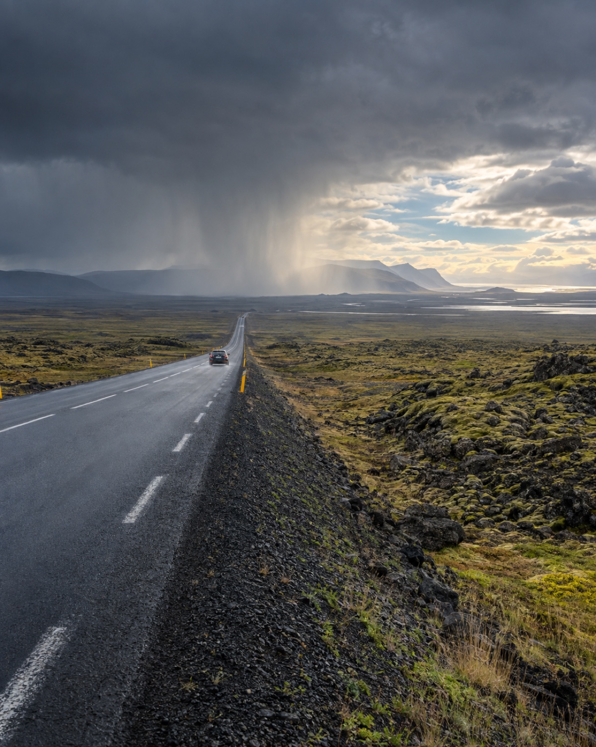
Route 1 crossing an open moss-and-lava plain under a visible rain shaft with clearing sky beyond

Field notes / 03

What happens between the famous stops matters too

Fuel stations on the Ring Road are typically 50–80 km apart, with gaps up to 100 km on the southeast coast — running a tank down to "we'll find one eventually" is how ring-road trips actually go wrong, not the waterfalls.

  • 01

    Check road.is for closures and Veður.is for wind before each driving leg, not just once at the start of the trip.

  • 02

    Refuel before the East Fjords and the stretch north of Höfn — stations thin out and a "next one soon" assumption doesn't hold there.

  • 03

    Don't book every night in a different town. One bad-weather day with nowhere to absorb it forces a rushed, unsafe drive to make a reservation.

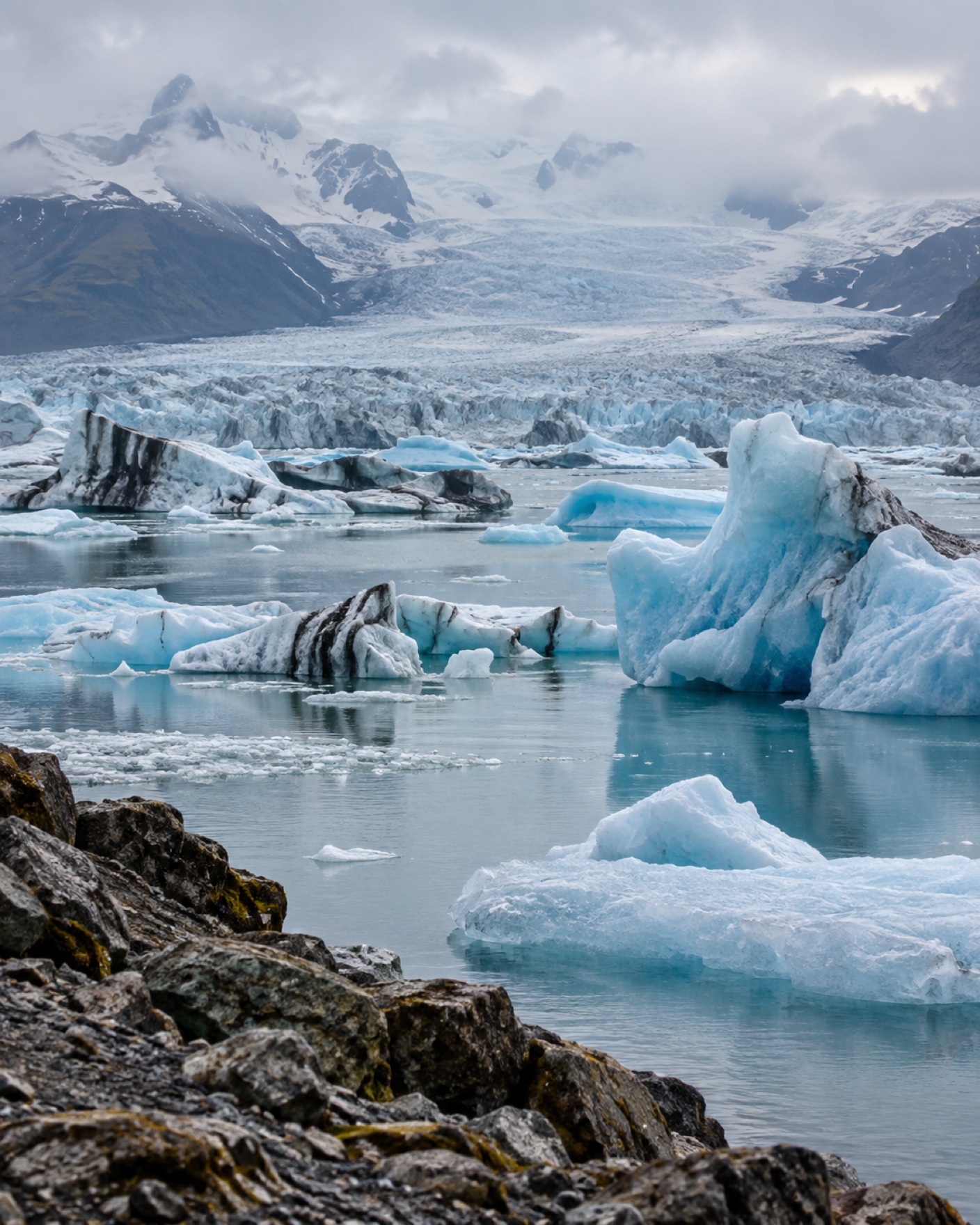
Wide view across Jökulsárlón glacier lagoon with blue icebergs drifting beneath the Vatnajökull ice cap

Directory / 04

Every leg, expanded into its own page

The route dial above covers all eight legs in one view. The places directory expands every one of them into a real region or landmark page — distances, photos, and practical notes for all thirteen stops, browsable without JavaScript.

Browse all places

Road reality / 04

The map shows distance. It doesn't show any of this.

Wind

Icelandic guidance suggests postponing a drive if forecast wind exceeds 25 m/s on that stretch — check Veður.is by road segment, not just a national forecast, before committing to a leg.

Read the weather guide

Daylight

Reykjavík gets roughly 21 hours of daylight around the summer solstice and as little as 4–5 near the winter solstice — a winter itinerary needs to treat dusk as the end of safe driving, not a suggestion.

See the daylight table

Road surface

Route 1 itself is fully paved, but F-roads (mountain interior tracks) are illegal in a 2WD and closed until early summer — never treat a paved-road rental as ready for an F-road detour.

Read the driving guide

Before departure / 05

A five-minute check, every single morning

Road status, wind forecast, vehicle fuel level, an offline map download, and one look at whether today's plan still makes sense — five checks, five minutes, done before the car leaves the driveway.

Open the departure checklist