Leg 1 of 8 187 km
South Coast — Reykjavík to Vík
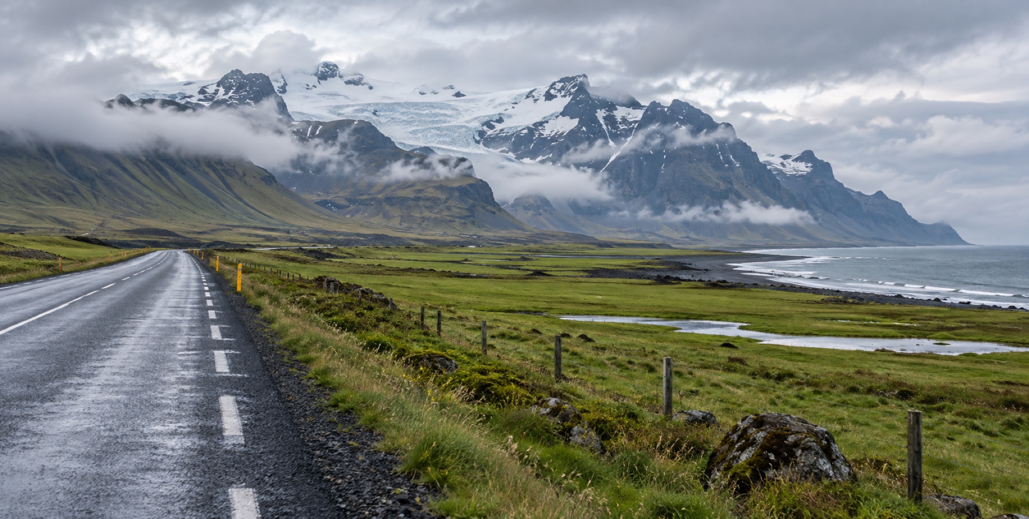
Reykjavík to Vík — flat, fully paved, and stacked with more famous single stops per kilometre than anywhere else on the loop, which is exactly why it's also the most congested leg.
- Distance
- 187 km
- Wheel time
- ~2 h 30
- Road surface
- Fully paved
- Weather exposure
- Medium
The leg / 01
Why this stretch gets crowded
This is the closest concentration of major landmarks to Reykjavík, so it's the single most-visited leg of the Ring Road, and often the only part many short-trip visitors see. Golden Circle sights (Þingvellir, Geysir, Gullfoss) sit just off Route 1 near the start for those adding that detour first.
In order / 02
The stops, west to east
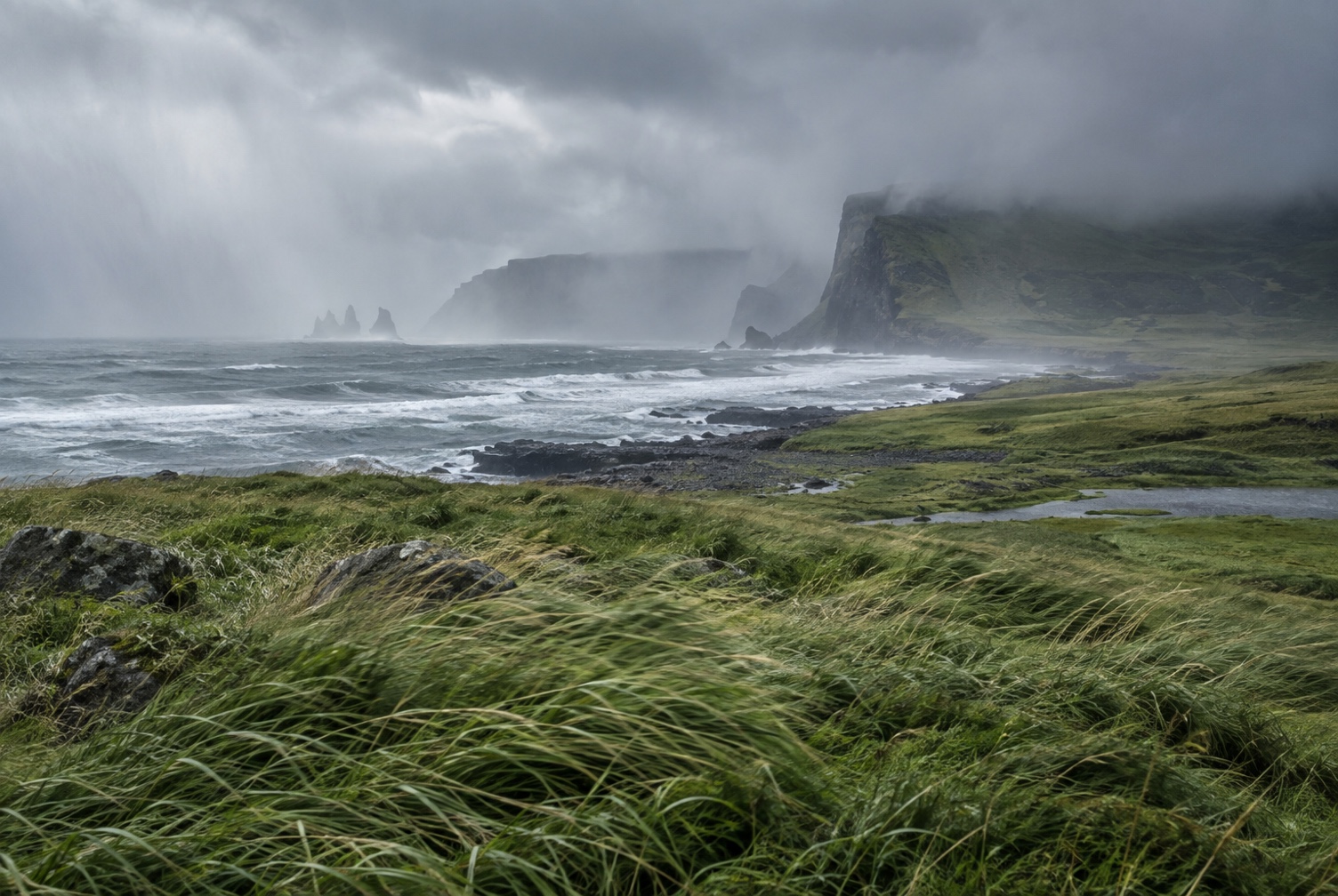
Seljalandsfoss and the hidden Gljúfrabúi come first, followed by Skógafoss with its staircase to the top, then the town of Vík and Reynisfjara's black sand and basalt columns just beyond it. Each stop is a genuinely different kind of waterfall or landscape, not a repeat of the last one.
Practical / 03
Fuel, food, and the congestion problem
Hvolsvöllur and Vík both have fuel and food — refuel at one of them rather than assuming you'll find something between stops. The real planning problem on this leg isn't distance, it's parking: Seljalandsfoss and Skógafoss both fill their car parks by mid-morning in summer, so an early departure buys a meaningfully quieter visit at both.
Places on this leg / 04