Leg 2 of 8 193 km
Southeast — Vík to Höfn
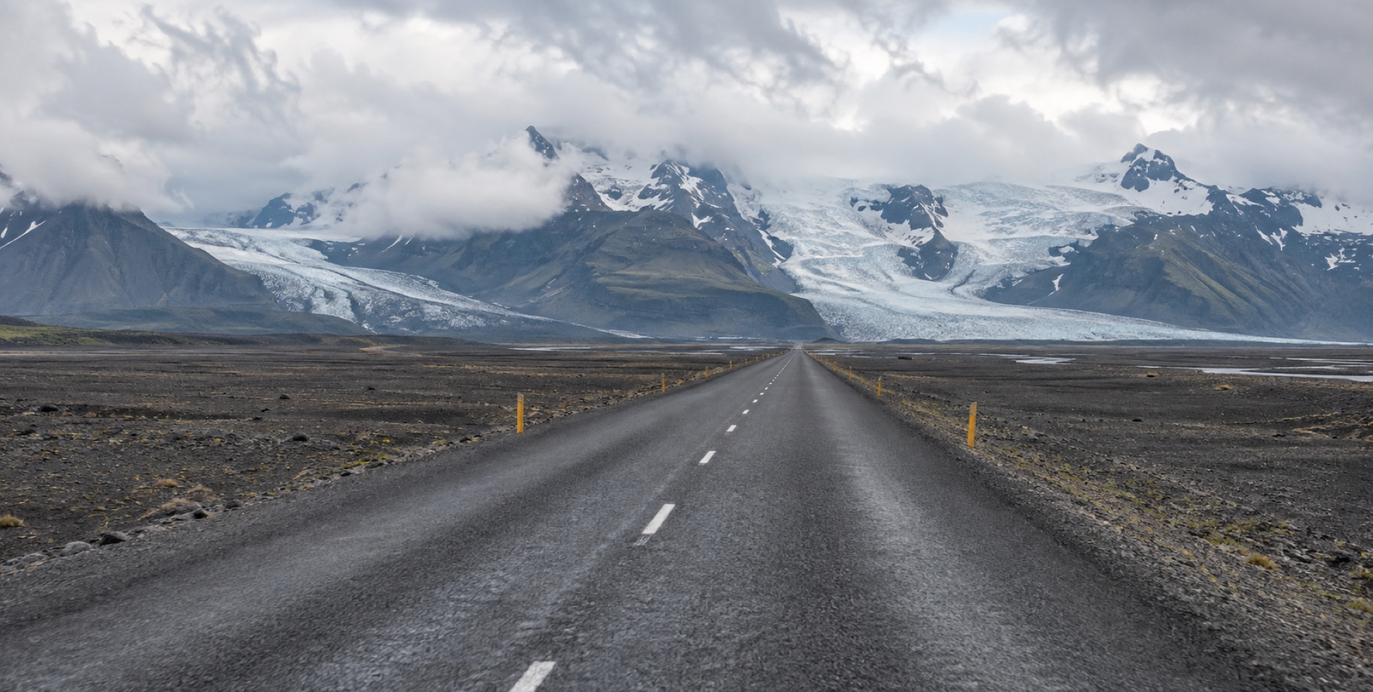
Vík to Höfn — flat black sandur plains give way to glacier tongues spilling off Vatnajökull, ending at Iceland's deepest lake, filled with centuries-old ice.
- Distance
- 193 km
- Wheel time
- ~2 h 30
- Road surface
- Fully paved
- Weather exposure
- High
The leg / 01
From black sand plains to blue ice
This leg trades the South Coast's waterfalls for glacier country — wide, flat volcanic sandur plains (built from centuries of glacial flooding) run for long stretches before the road climbs briefly near Skaftafell, where outlet glaciers of Vatnajökull, Europe's largest ice cap, become visible from the road itself.
In order / 02
Skaftafell, then Jökulsárlón
Skaftafell offers a free, guide-free walk to a safe glacier viewpoint, or a paid guided ice hike for those who want to actually walk on it. Further on, Jökulsárlón and Diamond Beach are the leg's centrepiece — a lagoon filled with drifting icebergs, and a black-sand shore where the sea washes the ice back onto land.

Practical / 03
This is a genuinely exposed stretch
Weather exposure runs high here — the coast is flat and open to Atlantic wind with little shelter. Fuel and services cluster at Kirkjubæjarklaustur and Höfn, with real gaps in between; don't assume a station will appear on demand along this leg.
Places on this leg / 04