Legs 7–8 of 8 75 km + spur
West & Snæfellsnes — Borgarnes and the Peninsula Spur
Borgarnes closes the loop back to Reykjavík — but the Snæfellsnes peninsula, reached via Route 54, is worth a full detour before you do, not a rushed photo stop on the way past.
- Distance
- 75 km to Reykjavík
- Snæfellsnes loop
- ~2.5 hours, no stops
- Route 1 turn-off
- Road 54 at Borgarnes
- Weather exposure
- Low–medium
The final leg / 01
75 km back to Reykjavík
The shortest leg on the whole loop, and the one that actually closes it — Borgarnes to Reykjavík is quick, paved, and largely uneventful, which makes it a good candidate for the last day of a trip if you've spent extra time elsewhere.
The spur / 02
Snæfellsnes: worth a real detour, not an afterthought
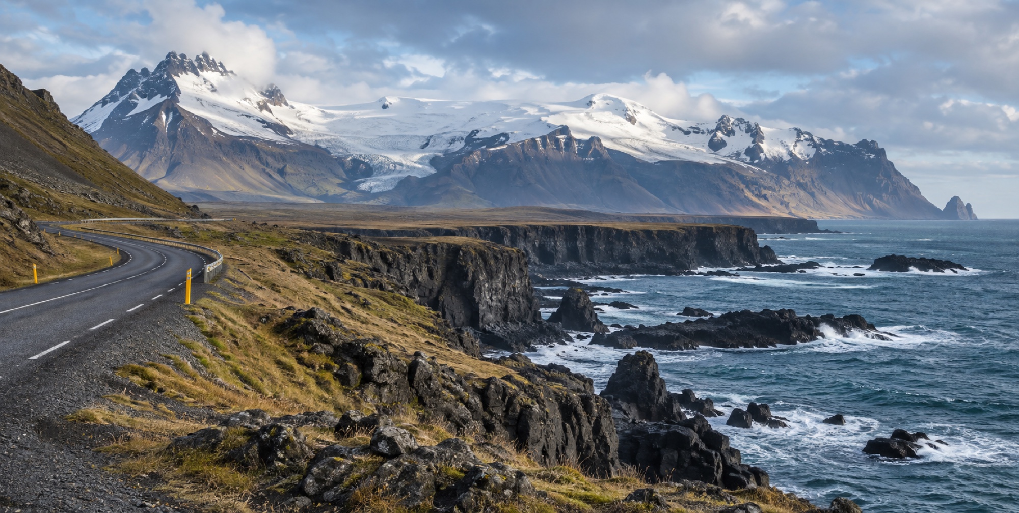
Turning onto Road 54 at Borgarnes reaches the Snæfellsnes peninsula, often nicknamed "Iceland in miniature" for packing glacier, coast, lava field, and fishing village into one compact area. Snæfellsjökull glacier tops out at 1,446 m; Kirkjufell, one of Iceland's most photographed mountains, rises 463 m directly above the shoreline near a small waterfall of the same name; Arnarstapi and Hellnar are small villages connected by a roughly 2.5 km coastal path past basalt cliffs, natural arches, and sea-bird colonies.
Practical / 03
Budget the full loop, not a drive-by
Driving the Snæfellsnes loop without stopping takes about 2.5 hours — with the actual stops (Kirkjufell, Arnarstapi, the glacier viewpoints) it's realistically a full day. This is the detour our 14-day pace plan builds room for and the 7-day plan has to skip.
Places on this leg / 04