Leg 4 of 8 166 km
Northeast — Egilsstaðir to Mývatn
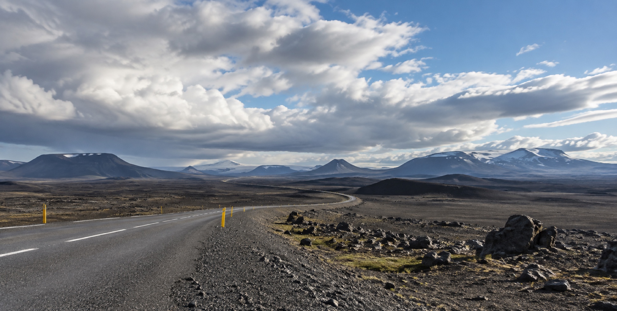
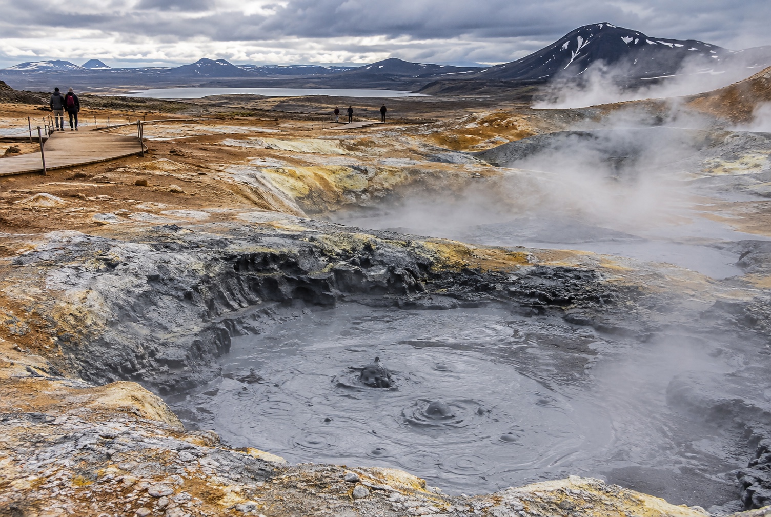
Egilsstaðir to Mývatn — the road climbs onto a sparse, high interior plateau, past the turn-off for Dettifoss, before descending into Mývatn's geothermal landscape.
- Distance
- 166 km
- Wheel time
- ~2 h 15
- Detour
- Dettifoss, +45–90 min
- Weather exposure
- High
The leg / 01
The most remote stretch on the loop
Between Egilsstaðir and Mývatn, Route 1 crosses sparse, high interior terrain with real gaps between any kind of service — this is where the "check road and weather before you go" rule matters most, since there's little margin if conditions turn.
The detour / 02
Dettifoss means choosing a bank in advance
Route 862 (west, paved) and Route 864 (east, gravel, summer-only) reach opposite sides of the falls with no bridge connecting them nearby — decide which bank you're visiting before you leave Route 1, since switching sides mid-visit means a long backtrack.
Practical / 03
Fuel up in Egilsstaðir
Reykjahlíð at Mývatn has fuel and services at the far end of this leg, but the stretch in between is genuinely thin — top up before you leave Egilsstaðir rather than gambling on the interior.
Places on this leg / 04