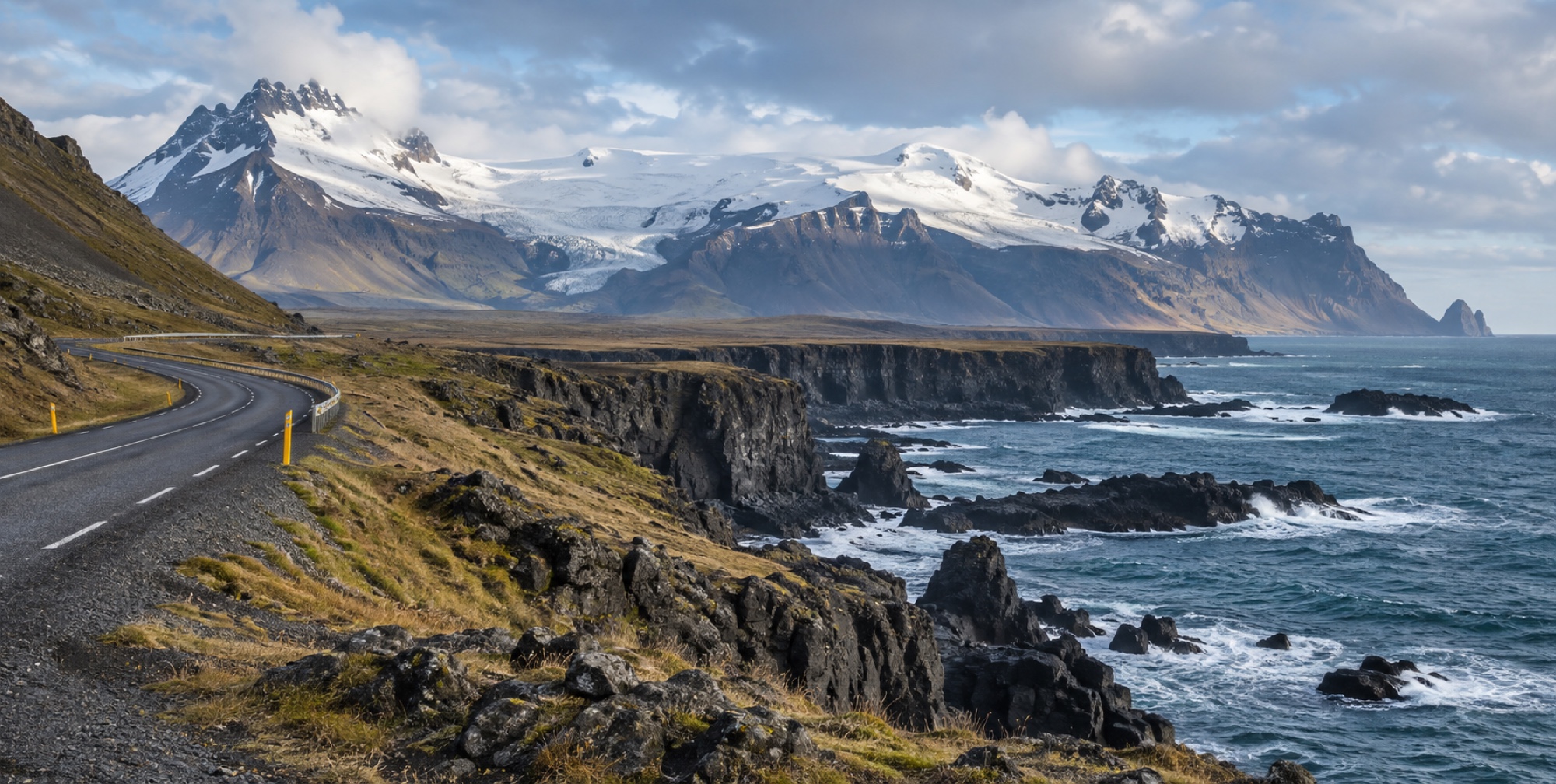
Leg 1 · 187 km
South Coast — Reykjavík to Vík
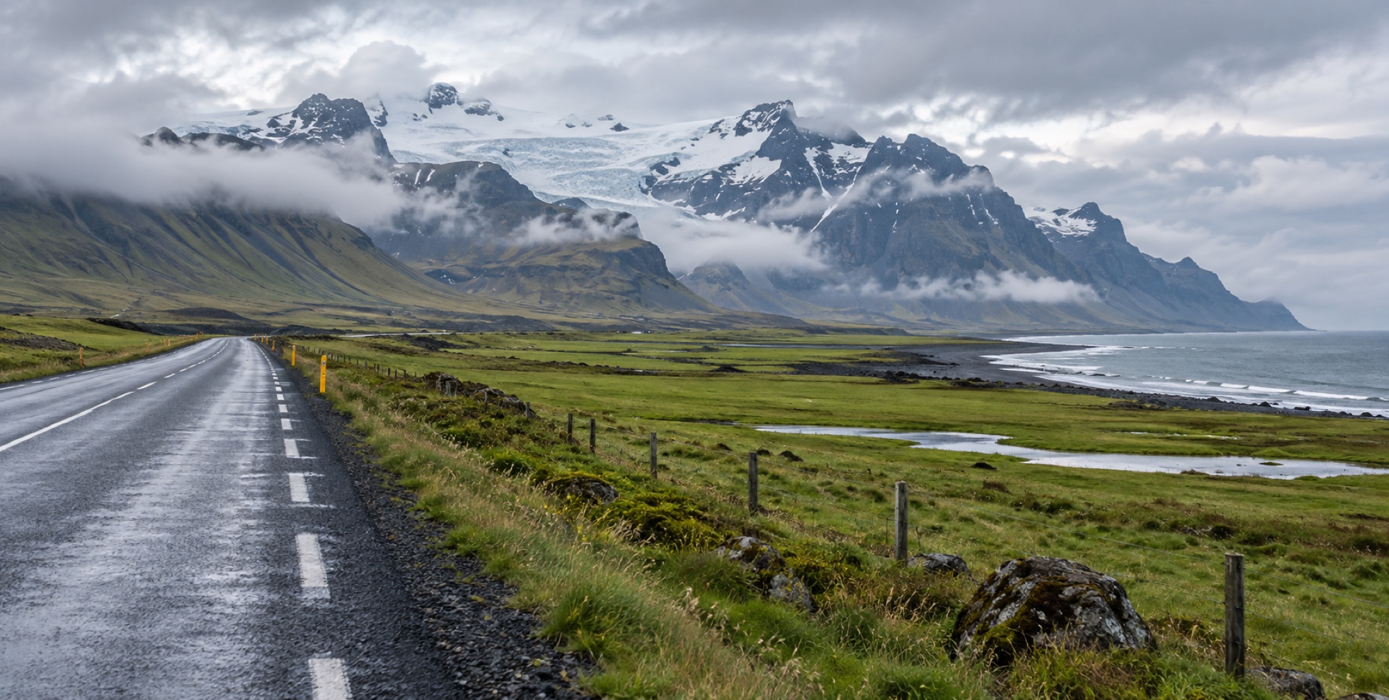
South Coast
The first leg of the Ring Road: Seljalandsfoss, Skógafoss, and Reynisfjara in roughly 187 km — Iceland's most-visited stretch, and why it earns the crowds.
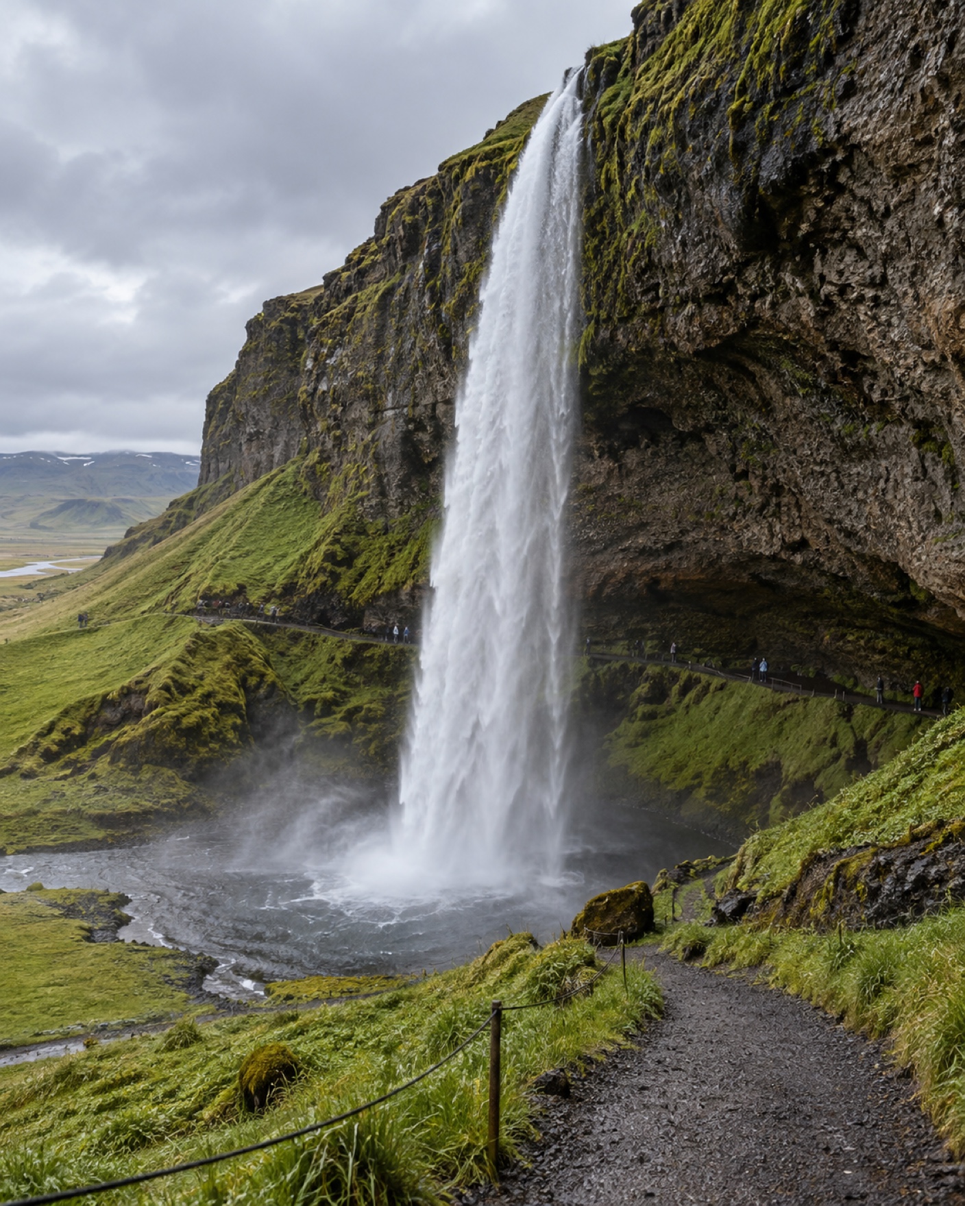
Seljalandsfoss
Seljalandsfoss and the hidden Gljúfrabúi next door: the behind-the-falls path, what to wear, and the one thing every first-timer forgets.
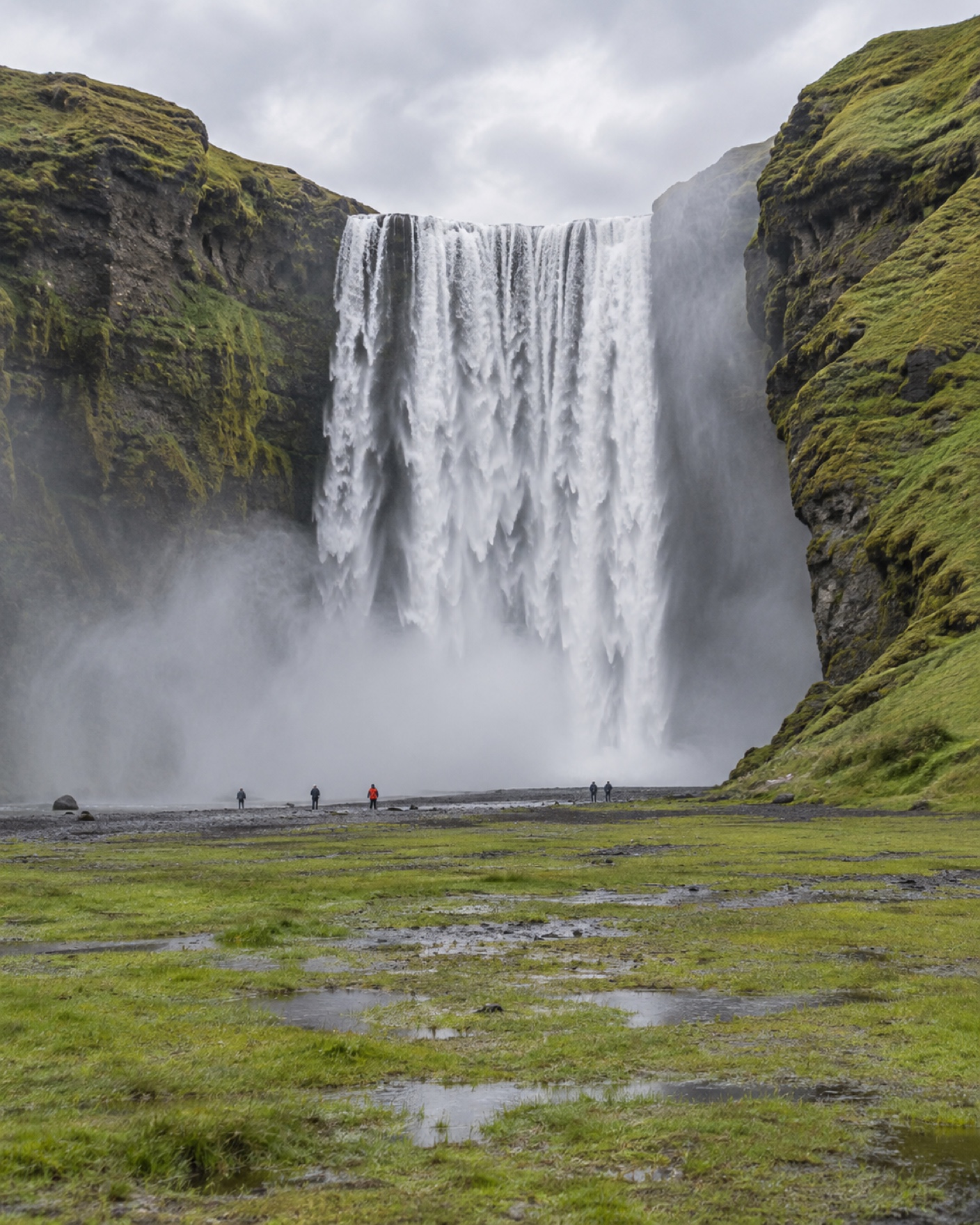
Skógafoss
A 60-metre, 25-metre-wide waterfall with a 400+ step staircase to the top, and the trailhead for the Fimmvörðuháls pass.
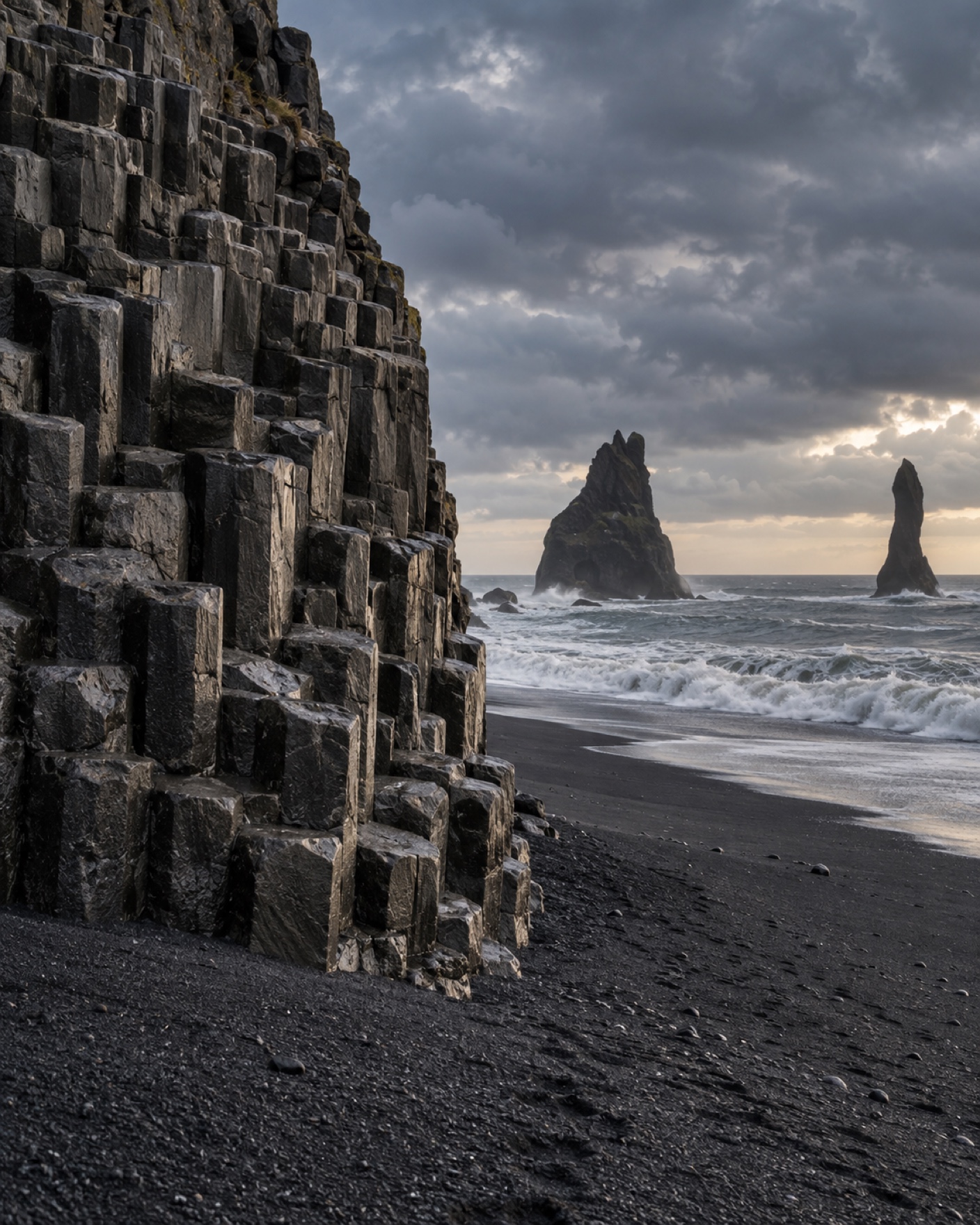
Reynisfjara
Reynisfjara's basalt columns and sea stacks are real, and so is the danger: sneaker waves have killed visitors here. What changed in 2026, and how to visit safely.
Leg 2 · 193 km
Southeast — Vík to Höfn
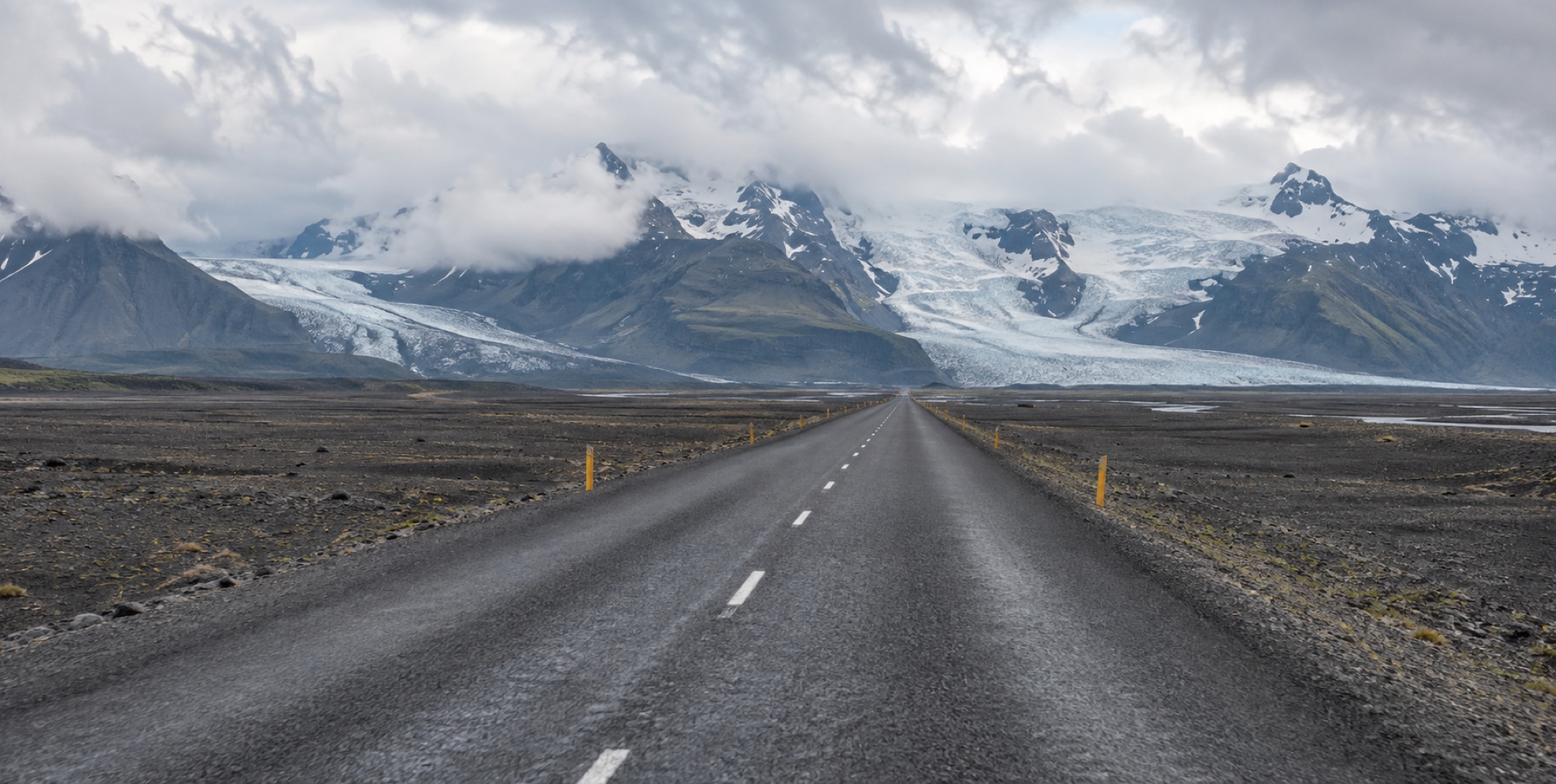
Southeast
Sandur plains, glacier tongues, and Iceland's deepest lake: the Vík-to-Höfn leg past Skaftafell and Jökulsárlón, 193 km of the Ring Road's glacier country.
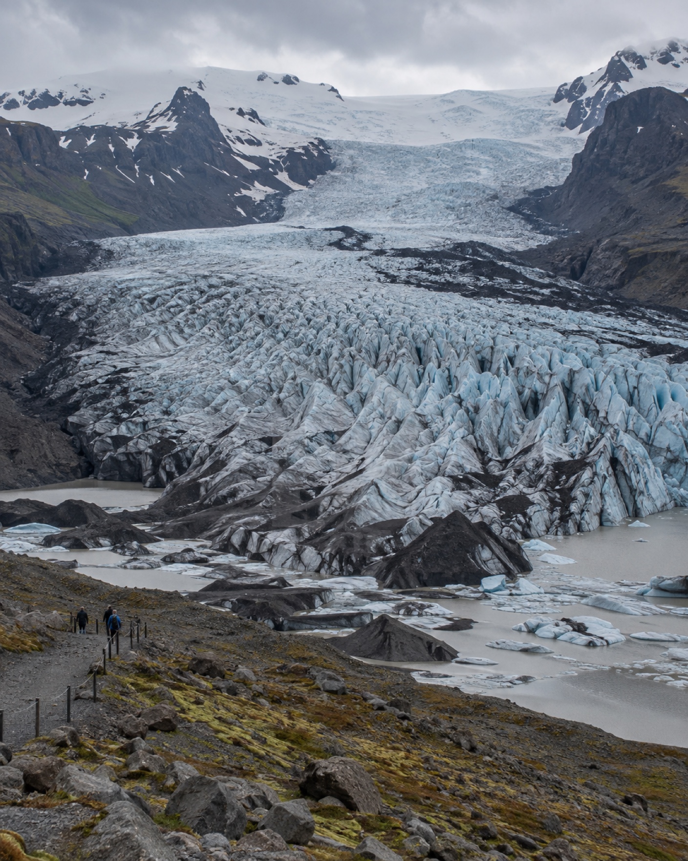
Vatnajökull & Skaftafell
Skaftafell's marked glacier viewpoints versus a guided ice hike on Vatnajökull: what you can do without a guide, and what legally requires one.
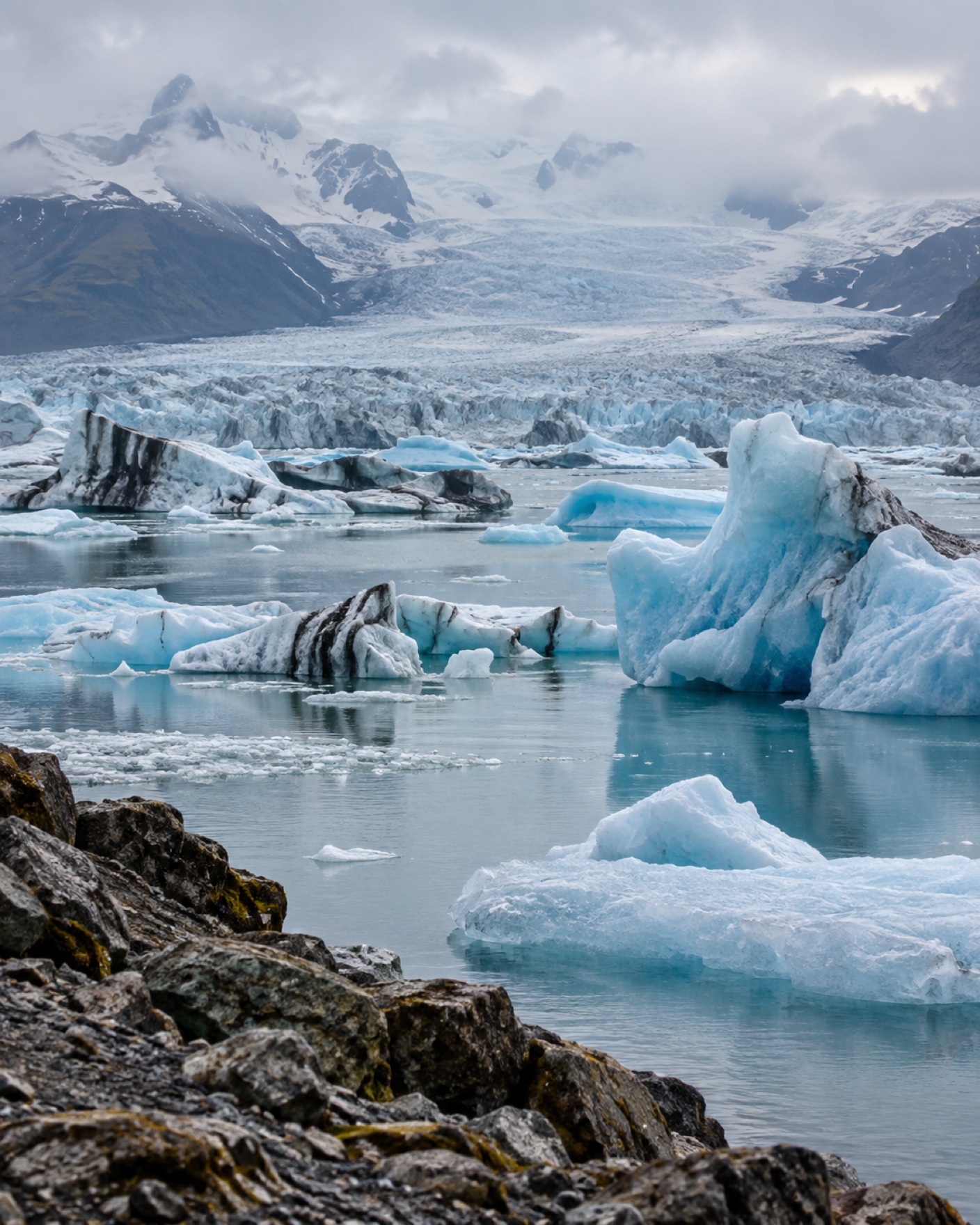
Jökulsárlón
Jökulsárlón and Diamond Beach on a Ring Road drive: how the two sides work, a practical visit order, and how ice conditions change what you'll actually see.
Leg 3 · 257 km
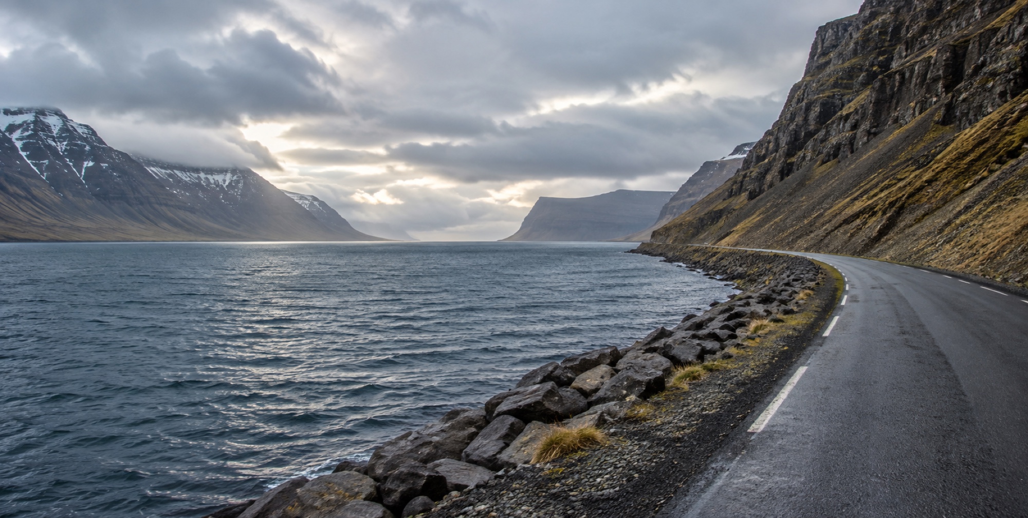
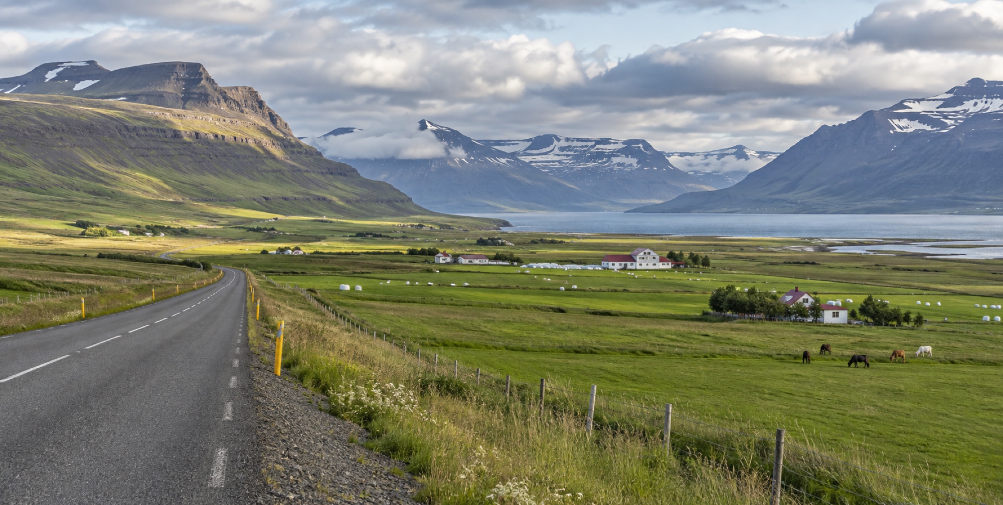
East Fjords — Höfn to Egilsstaðir
Leg 4 · 166 km
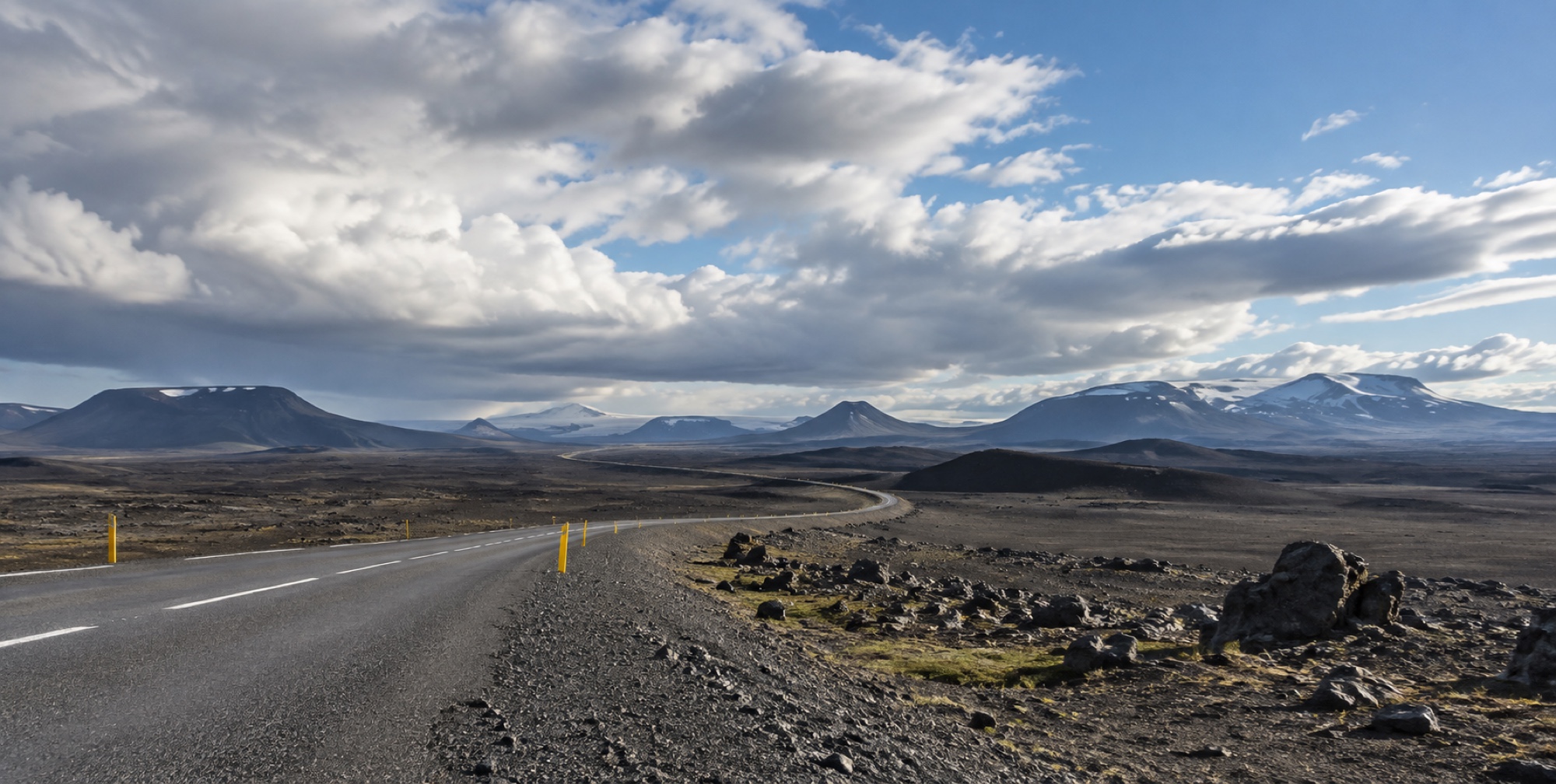
Northeast — Egilsstaðir to Dettifoss/Mývatn
Northeast
Up onto Iceland's high interior plateau: the Egilsstaðir-to-Mývatn leg, the Dettifoss bank decision, and 166 km of the loop's most remote driving.
Dettifoss
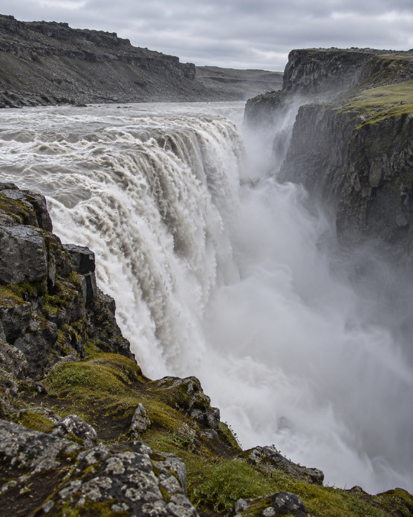
One of Europe's most powerful waterfalls: the real difference between its east and west access roads, and which one is open when.
Mývatn
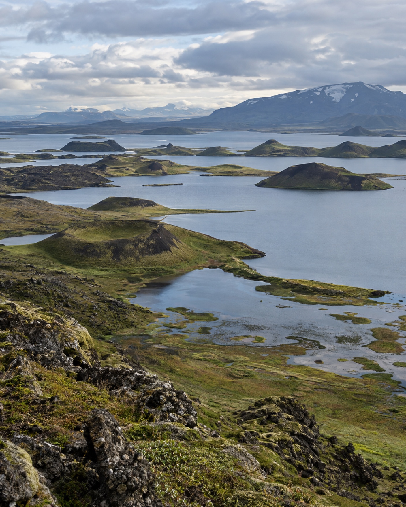
Lake Mývatn's real half-day vs full-day decision: Hverir, Námafjall, Krafla, Dimmuborgir, and the Mývatn Nature Baths, mapped against how much time you actually have.
Legs 5–6 · 235 + 215 km
Northwest — Mývatn to Borgarnes
Legs 7–8 · 75 km + spur